According to a press release published by Northrop Grumman on December 16, 2021, the firm recently completed a significant milestone in the production of Australia’s first MQ-4C Triton high-altitude, long-endurance (HALE) aircraft when the aircraft fuselage was mounted onto Triton’s unique one-piece wing.
Follow Air Recognition on Google News at this link
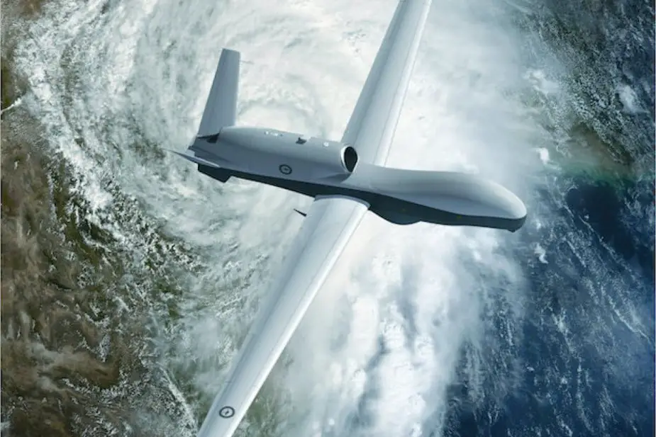 MQ-4C Triton Unmanned Aerial Vehicle (Picture source: Royal Australian Air Force)
Once completed and delivered, Triton’s powerful payload and endurance will provide the Royal Australian Air Force (RAAF) with the ability to detect and analyze threats that were previously undetectable.
Australia’s first Triton is on track to be delivered just as the U.S. Navy expects to achieve initial operating capability with their multi-intelligence Tritons, the same configuration Australia is receiving.
The identical capabilities will allow the RAAF and U.S. Navy to share data and maintain an unblinking autonomous intelligence, surveillance, reconnaissance, and targeting capability over some of the world’s most critical maritime regions.
Northrop Grumman’s family of autonomous high-altitude, long-endurance systems perform critical wide-area ISR collection. Today, autonomous HALE systems operate across the globe, with greater than 24-hour endurance, collecting essential ISR data over land and sea to enable rapid, informed decision-making.
In the future, these systems will connect the joint force, implementing advanced autonomy and artificial intelligence/machine learning while delivering indispensable capabilities with fewer people to provide information at the speed of relevance.
The Northrop Grumman MQ-4C Triton is an American high-altitude long-endurance unmanned aerial vehicle (UAV) under development for the United States Navy as a surveillance aircraft.
The MQ-4C can remain aloft more than 30 hours at 55,000 ft (17,000 m) at speeds of up to 330 knots (380 mph; 610 km/h). Its surveillance sensor is the AN/ZPY-3 Multi-Function Active Sensor (MFAS) X-band AESA radar with a 360-degree field-of-regard, capable of surveying 2,700,000 sq mi (7,000,000 km2) of sea (as well as shoreline or land) in a 24-hour period, or 2,000 sq mi (5,200 km2) in a single sweep.